Mgrs & Utm Map
Vahid Cataltas
4.4
Versionsdetails
| Herausgeberland | DE |
| Veröffentlichungsdatum im Land | 2018-10-27 |
| Kategorien | Utilities, Navigation |
| Länder / Regionen | DE |
| Entwickler-Website | Vahid Cataltas |
| Support-URL | Vahid Cataltas |
| Inhaltsbewertung | 4+ |
This application is GPS and coordinate systems helper especially for military personnel.
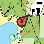
It is also a complete helper for mountaineering, trekking and hiking, cross running, scouting, hunting, fishing, geocaching, off-road navigation and all other outdoor activities and sports.
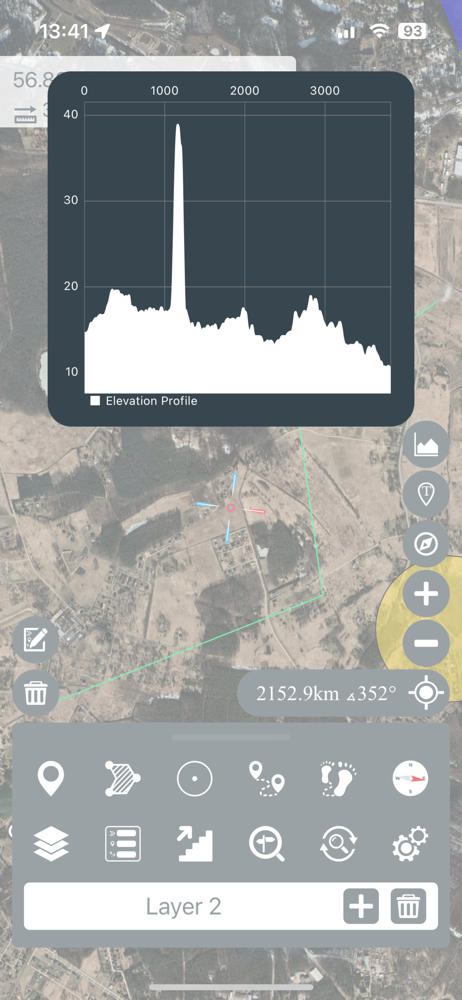
With satellite navigation systems such as GPS, GALILEO and GLONASS (GNSS) supported by your device and your sensors, you can see your most accurate position on different map layers.
*Import/Export KML
Durchschnittsbewertung
170
Bewertungshäufigkeit
Ausgewählte Bewertungen
Von darkfight531
2022-05-11
Version 3.5.1
offline_functionalityIch finde die App wirklich vernünftig - grade zum ausplanen von Übungen - entnehmen Koordinaten etc. sehr hilfreich - eine offline Verfügbarkeit von Bereichen wäre sinnvoll, damit ohne Internet gearbeitet werden kann
Von Ankzor
2022-07-26
Version 3.5.1
offline_functionalityLa aplicación es realmente útil. La uso en el trabajo pero realmente es necesario tener la posibilidad de acceder a mapas offline pues no muy practico como militar que te detecten por usar Internet. Hay zonas en las que no hay internet y es una desventaja.
Von Blaubaer-stade
2019-11-16
Version 2.8
updates_and_maintenanceHabe die pro-Version gekauft und sehe trotzdem Werbung:-(
Screenshots


AD
AD
Heiße Apps